 Zip Control
01
Organize coverage in workspaces
Keep regions, projects, or teams separate so each workspace has its own coverage areas and lists.
Explore workspacesZIP coverage management
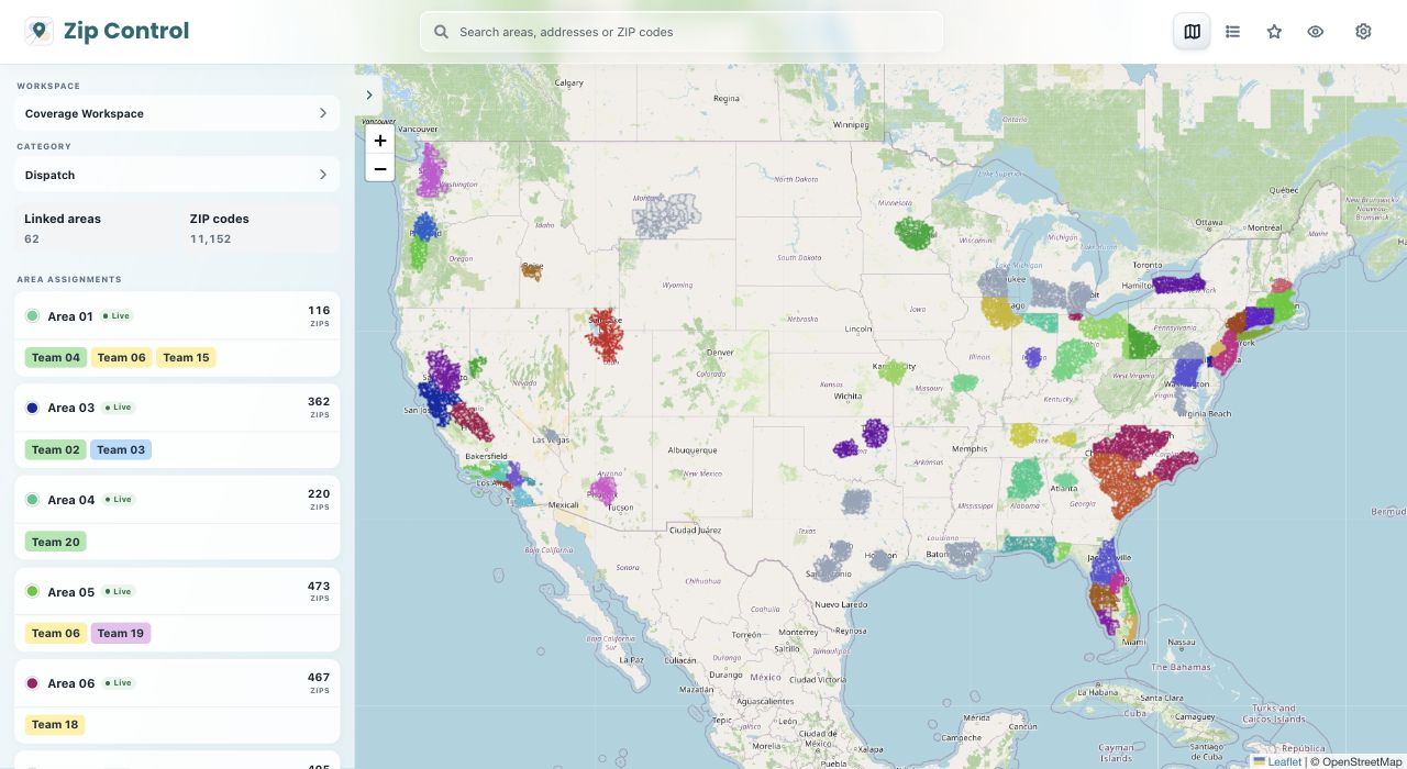
Zip Control is a ZIP code mapping and coverage management tool. Create workspaces, draw areas to generate ZIP code lists, and see exactly what each list covers on a map.




 Custom setup
 Custom setup
How it works
Keep regions, projects, or teams separate so each workspace has its own coverage areas and lists.
Explore workspacesDraw an area on the map to generate a list, select ZIP codes individually, or paste or upload a list you already have.
Explore zip code listsTurn a list of ZIP codes into a visual coverage area. Compare areas and adjust what’s included as your needs change.
Explore coverage mapIntegrations
Zoho and GoHighLevel. Use Zip Control with your CRM to bring ZIP coverage into the tools your team already uses.
Zapier and custom webhooks. Connect other CRMs through a Zapier workflow or a compatible API. Setup depends on which fields and actions your CRM makes available.
Chrome extension. Open Zip Control directly from your browser while you work.
A worked example
Suppose your crew serves three Los Angeles ZIPs. You have them in a spreadsheet and need to see whether they match the territory you want to cover.
These are example ZIPs, not a complete Los Angeles service area.
Try the ZIP list walkthroughYes. Draw an area on the map, then save the selected U.S. ZIP codes to a coverage area in your workspace. You can add or remove individual ZIP codes afterward.
Yes. Paste your list or upload a CSV or text file to add supported U.S. ZIP codes to a coverage area. You can then view that area on the map and edit its list.
Zip Control currently maps U.S. ZIP codes. Postal code mapping outside the United States is not currently supported.
Use the saved area list to confirm a ZIP is included. Map boundaries are approximate and do not verify delivery to a specific address. See how to check coverage.
Yes. Free gives you one workspace, one category, and up to three coverage areas, with no limit on the number of ZIPs in those areas. See what Free includes.
Create your first workspace and put your ZIP code coverage on the map for free.